Property intelligence for everyone
Tax assessors. GIS managers. Roofers. Insurance claims adjusters. Nearmap serves the teams shaping our world.
Industries served

Insurance
Realise real improvements to operating ratios with defensible decisions and accurate insights across the policy lifecycle.
Visit Insurance
AECO
Assess sites and monitor assets remotely with high-recency, high-resolution aerial imagery and AI detections.
Visit AECO
Government
Streamline tax assessment, emergency response, and permitting with a reliable, shared source of truth.
Visit Government
Telecommunications
Identify vegetation intrusion, optimise device placement, and assess new infrastructure requirements.
Visit Telco

Utilities
Keep things running smoothly with complete views of your facilities. Plan updates and proactively address risks.
Visit Utilities
Solar
Bring incredible accuracy to your solar designs, no matter the space or scale. Plan easily. Sell easier.
Visit Solar
Real Estate
See 100M+ addresses nationwide. Evaluate properties, manage assets, and augment your insights with advanced AI.
Visit Real Estate
Property Services
Integrate property intelligence to maximise your platform and application with greater data accuracy.
Visit Property Services
Transportation
Monitor infrastructure, plan expansions, and assess sites remotely. See what satellite imagery misses.
Visit Transport
Property Intelligence
Turn questions into answers
From proprietary camera systems, to purpose-built AI, to a vast building materials database, we equip teams with proven, action-ready property intelligence.
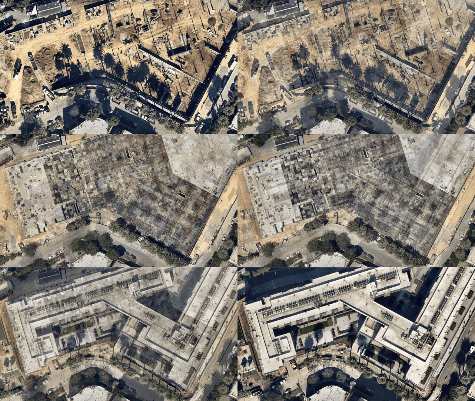
Geospatial Intelligence
Imagery and AI that reveal every detail
Nearmap delivers inspection-grade geospatial intelligence with end-to-end control that help teams make data-powered decisions.
Solve your challenge with Nearmap
When you don’t have the full picture, planning becomes guesswork. Property intelligence backs your decisions with current, trusted data about land use, spatial patterns, vegetation, and more.
Get in Touch