Monitor your environment with greater confidence
Reduce unnecessary site visits with a remotely accessible view of your LGA that is far more detailed and current than satellite imagery and is enriched with AI datasets and remote measurement tools.
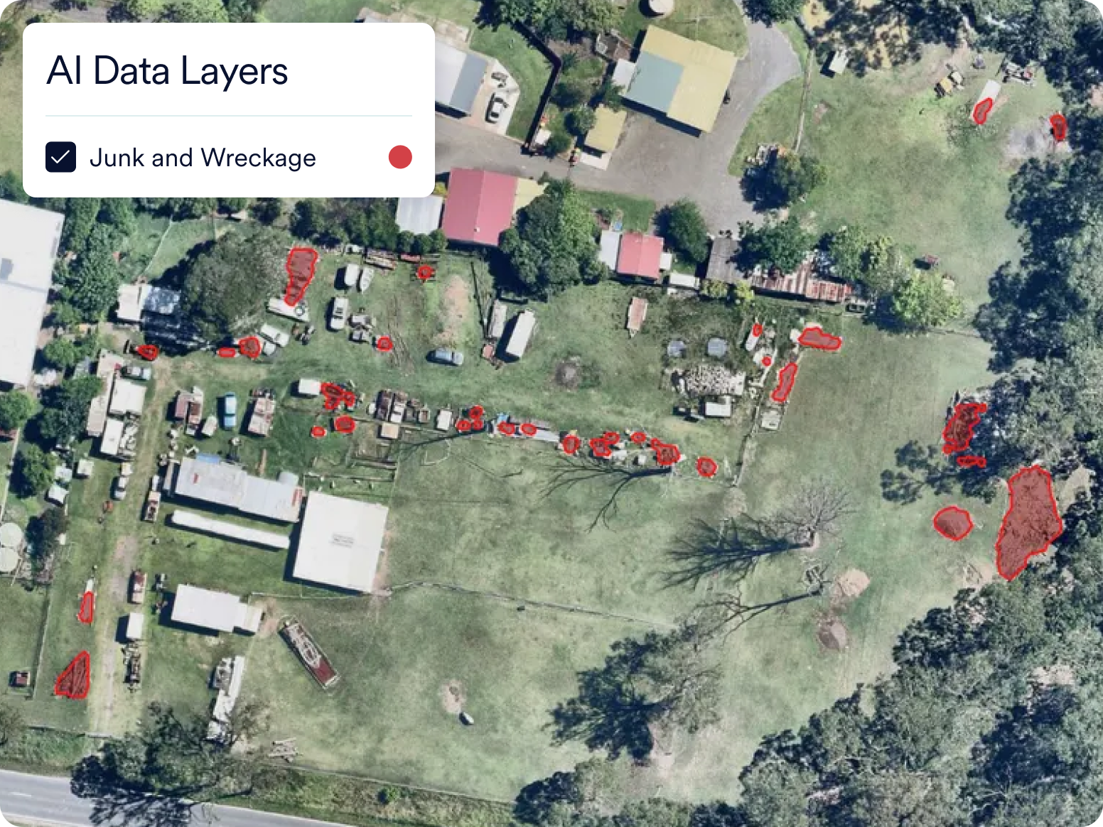
Wide-scale coverage delivers local insights
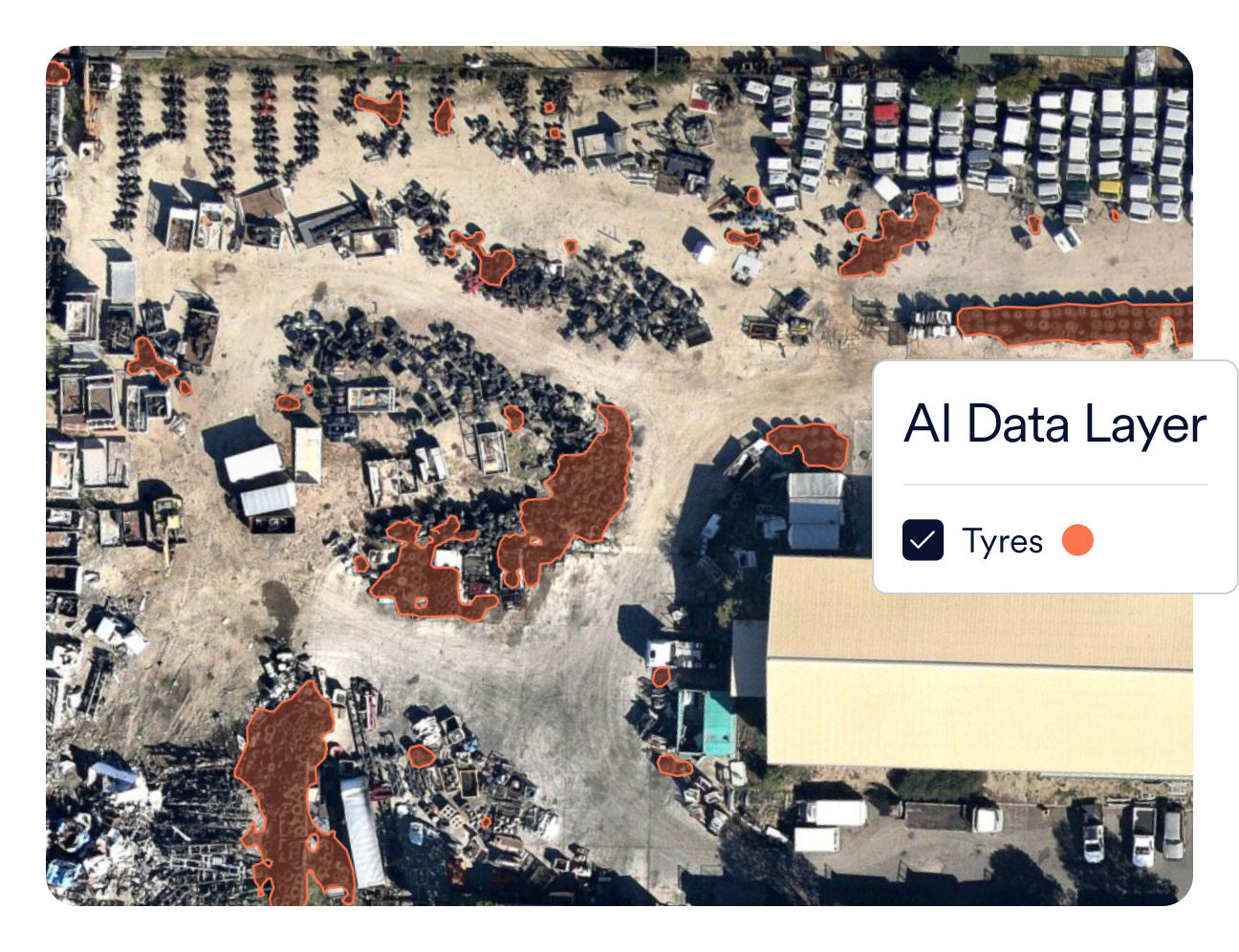
Keep track of illegal tyre dumping
Based on a report supported by the Australian Local Government Association, local authorities are spending more than $6.5 million a year on the removal and management of illegally dumped tyres. Using Nearmap AI to visually identify tyre stockpiles saves time and significant costs in mitigating the impacts of hazardous, toxic fires and run-off waste and from tyre dumps.
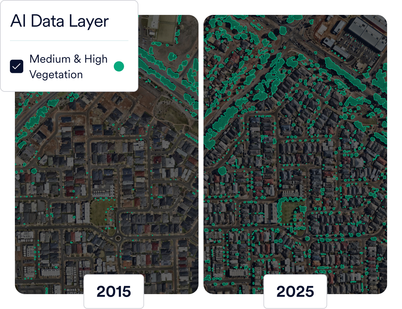
Meet targets for greener city management
Tree-clearing is occurring more frequently across large swathes of land due to accelerated urban development. Clearing vegetation removes shade, disrupts ecosystems, and increases heat retention. Councils and governments equipped with high-resolution mapping imagery and AI identification can identify vegetation loss to verify permitted removals and act on illegal clearing.
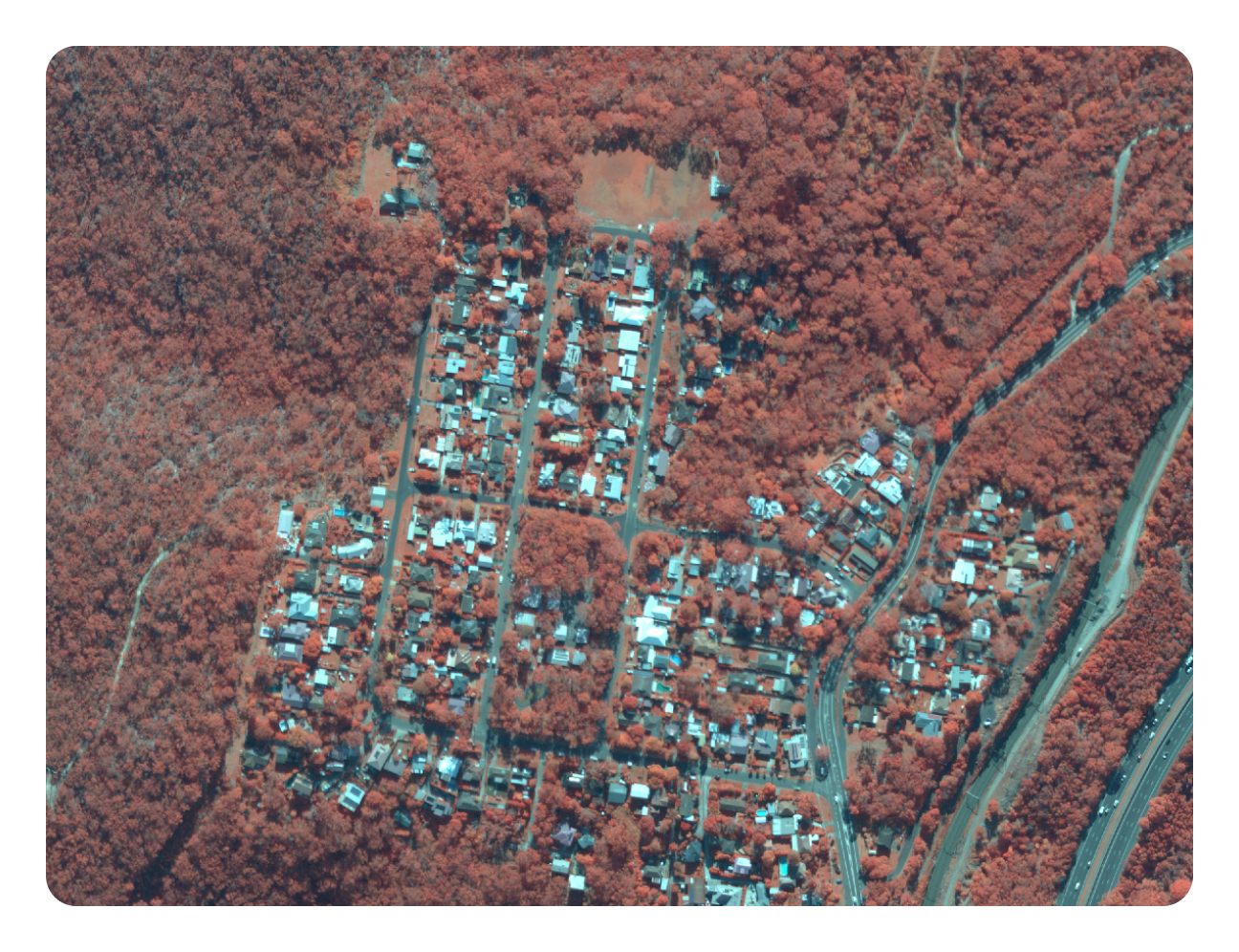
Preserve urban green infrastructure
Monitor, maintain, and protect your local natural environment with comprehensive and frequently-updated AI-derived vegetation data. Use Near Infrared Imagery insights to uncover otherwise hidden details such as healthy growth areas, variability, disease, and changes that occur across time to vegetation, soil and moisture levels.
Empower teams with next-level efficiency

Time and money better spent

No technical expertise required

We go where you are


Integrations
Sync with your workflows
Easily sync Nearmap to your workflows with APIs for seamless integrations. Integrations & APIs


Products for environmental monitoring

Applications

Imagery

Insights
Get started today
Empower your team to make data-backed change for your community with a transformative, insight-rich view from above.
Get in Touch