The top minds in property intelligence
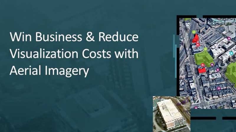
Win business, reduce visualisation costs with aerial imagery
Nearmap demonstrates how high-resolution aerial imagery, reality modeling and GIS data can help streamline planning and design for AEC projects.
Watch webinar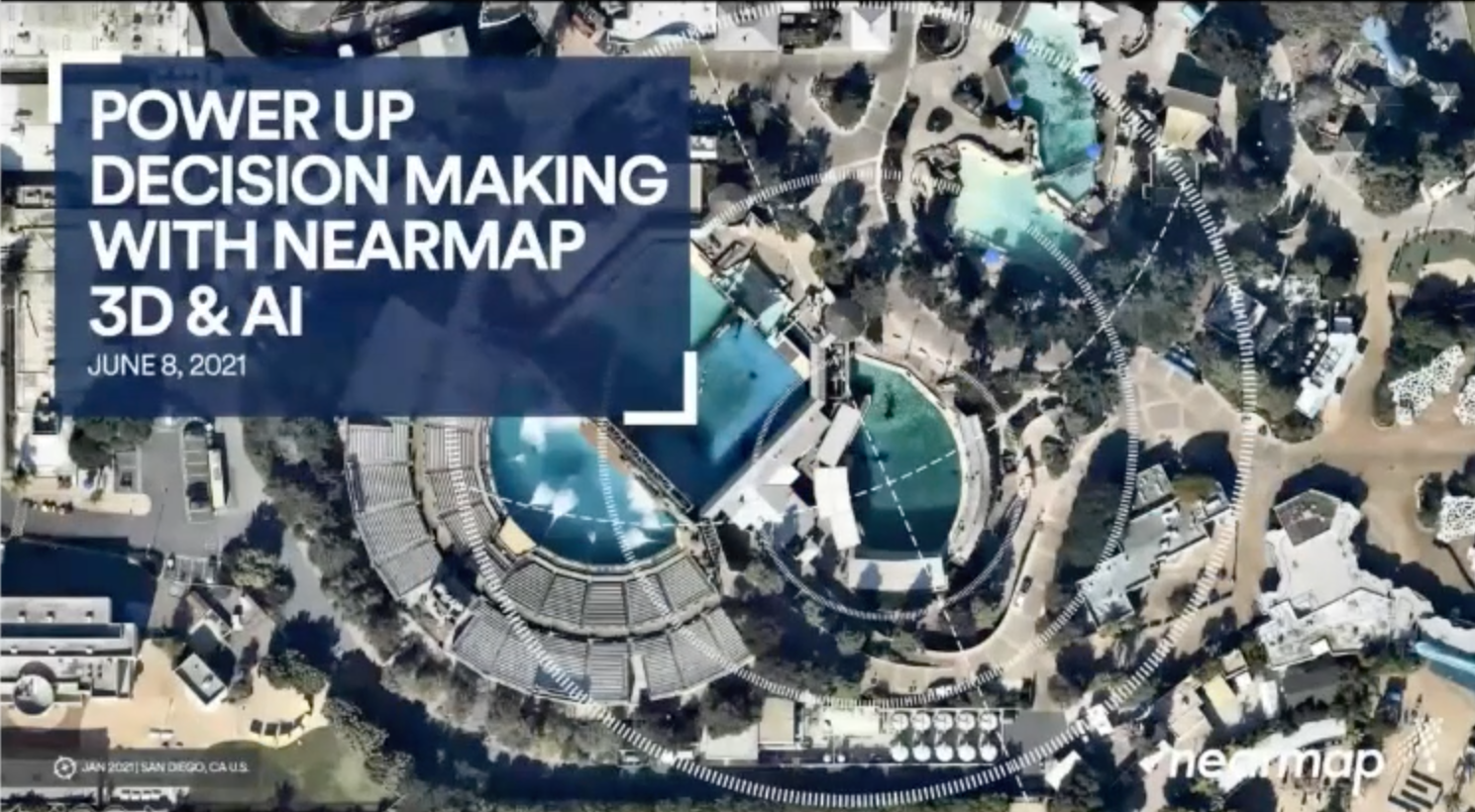
Power up decision-making with 3D and AI
Power-up your decision-making and gain better location intelligence with clear and frequent aerial imagery with more accuracy using Nearmap 3D and Nearmap AI.
Watch webinar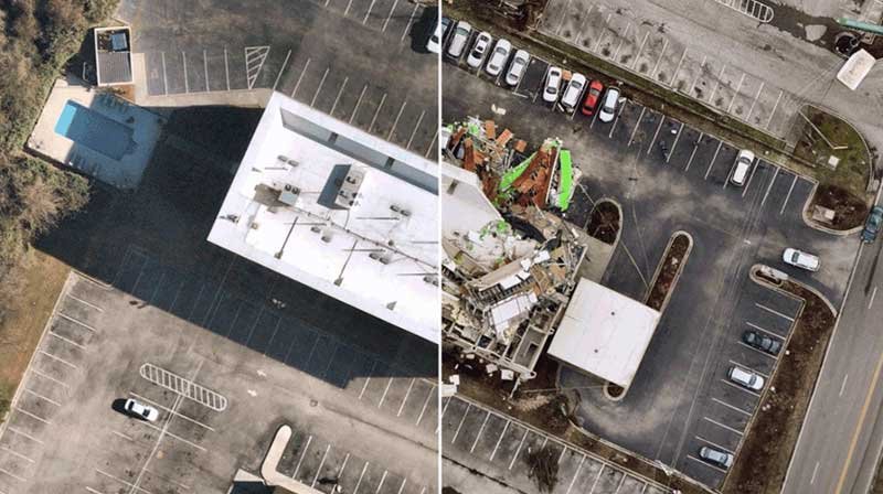
Empower confidence with geospatial insights and imagery
Property and casualty carriers leverage the power of high-resolution aerial imagery and automated insights to better serve policyholders.
Watch webinar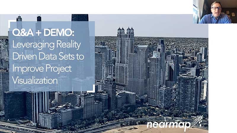
Leverage aerial datasets to improve project visualisation
Use high-resolution aerial content, 3D, and data driven insights to add context to project visualisation in InfraWorks, Revit and BIM 360.
Watch webinar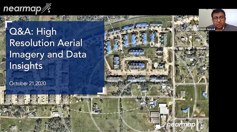
Aerial imagery and property insights for insurance Q&A
Nearmap provides the insurance ecosystem unprecedented access to truth on the ground to make critical decisions across the entire policy lifecycle.
Watch webinarDive deeper
Explore how geospatial experts are using Nearmap to advance their understanding of the world across AECO, government, and insurance.Blog
New perspectives, insider tips, and top industry trends. Immerse yourself in the world of property intelligence.
Nearmap in action
GIS pioneers explain how they’re using Nearmap to enhance their efficiency, accuracy, and performance.