Ground Truth
A blog by Nearmap
From imagery, to insights, to answers. Explore the latest posts and new perspectives emerging in the world of property intelligence.
Enhanced aerial maps for local government agencies
Nearmap now offers all government agencies an unlimited number of user licenses to access 2D and 3D data offline as well as integration in public-facing applications.
Read post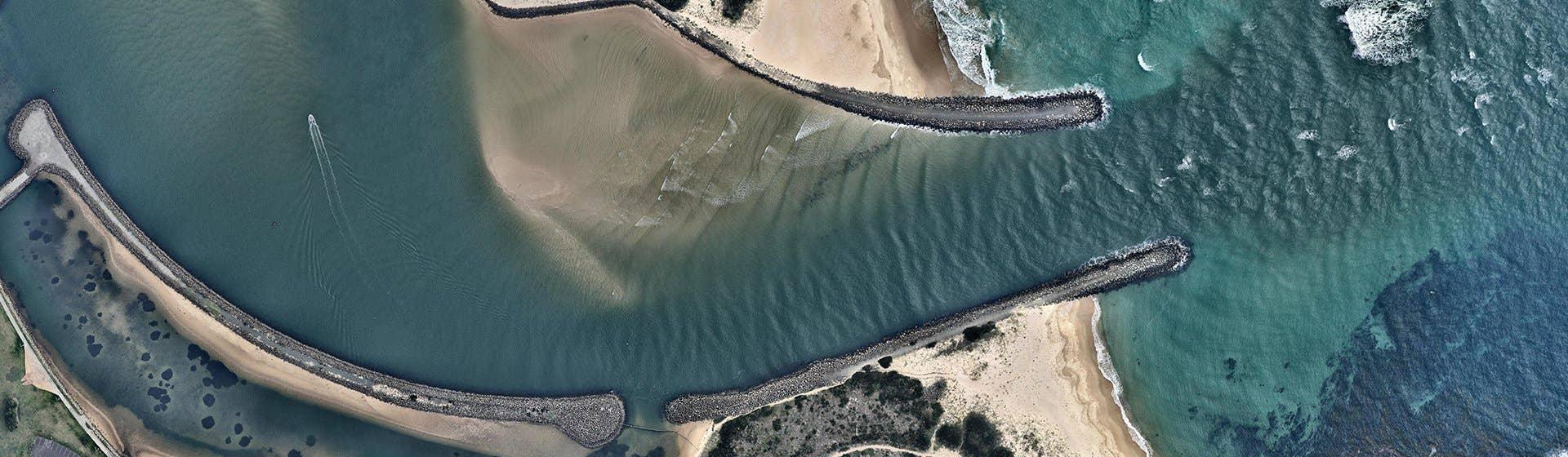
Nearmap WMS adds capability with GDA2020
The accuracy of Nearmap imagery is constantly improving, and we are committed to delivering our imagery in the way that minimises inaccuracies.
Read post
Using aerial photos for solar lead generation
It’s official: homeowners are going solar. How does Nearmap aerial imagery help solar panel companies reach their goals?
Read post
7 workflows for image integrations and APIs
The Nearmap Coverage API is structured in a way that allows us to simply plug in new types of spatial content support this catalogue expansion.
Read post
Aerial map APIs - the Nearmap path forward
Nearmap API's provide new improvements in one release. Learn how it can make project planning easier with simple exporting of aerial mapping imagery.
Read post
Top 5 uses of aerial maps for landscaping
Nearmap imagery offers the most important new form of location content for landscaping design companies: frequent and clear aerial maps.
Read post
Aerial map views shine within ArcGIS Online
Inside ArcGIS, Nearmap high-resolution aerial imagery and automated property insights can help you plan and develop your next big project with ease.
Read postBut wait, there’s more!
Across the globe, GIS professionals are using Nearmap to advance their understanding of the world. Learn more about how these geospatial experts in commercial, government, and insurance sectors are optimising their efficiencies with our solution.Customer Stories
Go behind the scenes with GIS pioneers to see how they’re using Nearmap.
Webinars
Tune in for a lineup of industry experts highlighting how they’re changing our liveable world