Assess sites without leaving the office
Select sites, assess land, and perform feasibility studies from your desktop with on-demand access to property intelligence insights.

More data. More wins.
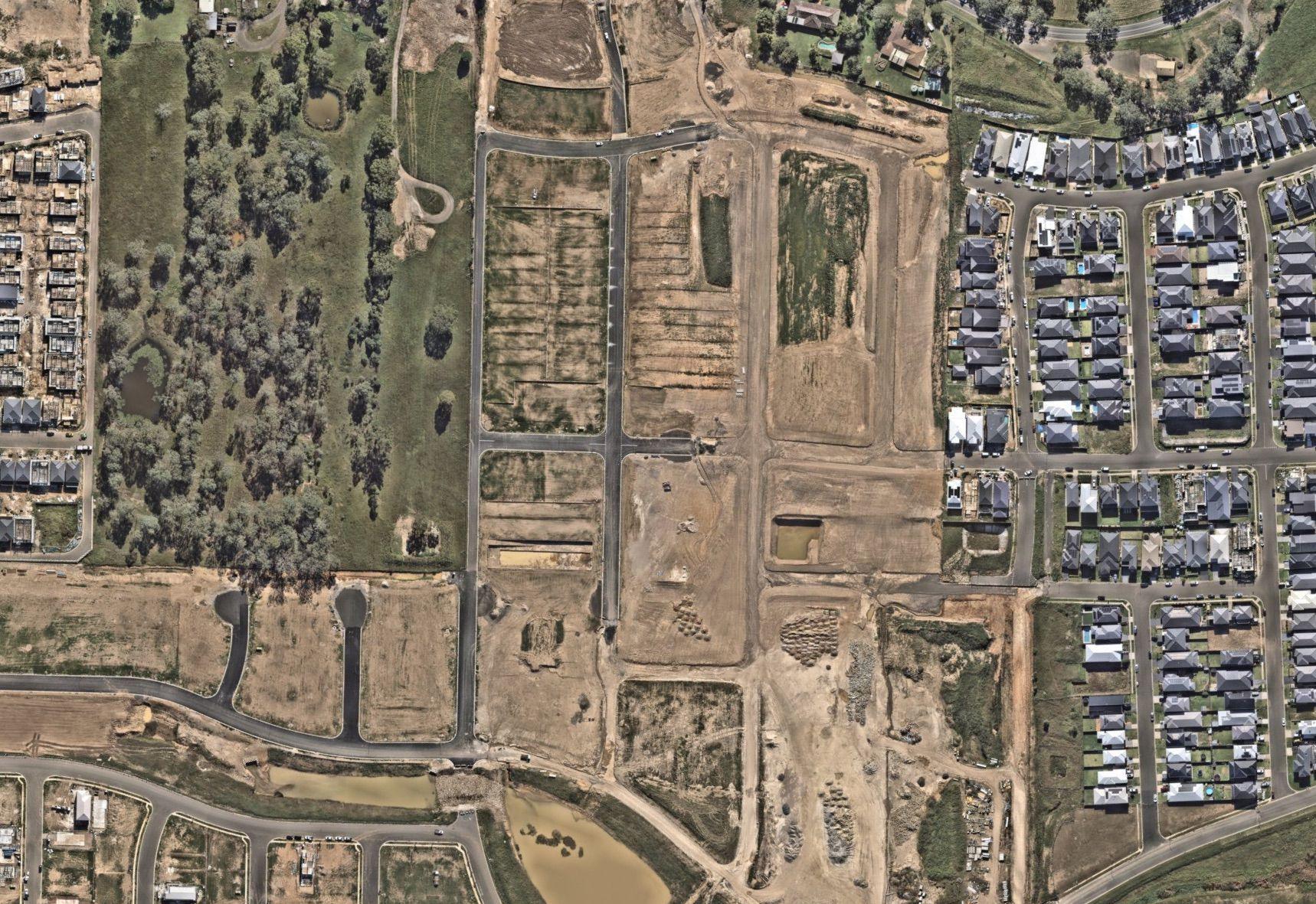
Simplify site selection complexities
Proactive and repeated capture of aerial imagery in leading resolution forms the backbone of site selections, ensuring the latest and most detailed visuals for more informed decision-making.
AI geospatial feature identification offers unique insights into existing conditions, encroachments, crossings, constructibility and more — transforming your site selection approach by proactively identifying potential challenges.


Better data, better environmental understanding
AI offers advanced insights into environmental nuances, allowing environmental engineers to proactively address challenges and enhance compliance strategies. Translate AI derivatives into strategic solutions that support property development feasibility studies and enhance project efficiency.
Elevate the accuracy of environmental assessments with frequent aerial surveys of the environmental landscape, and set the foundation for precise and strategic monitoring solutions.

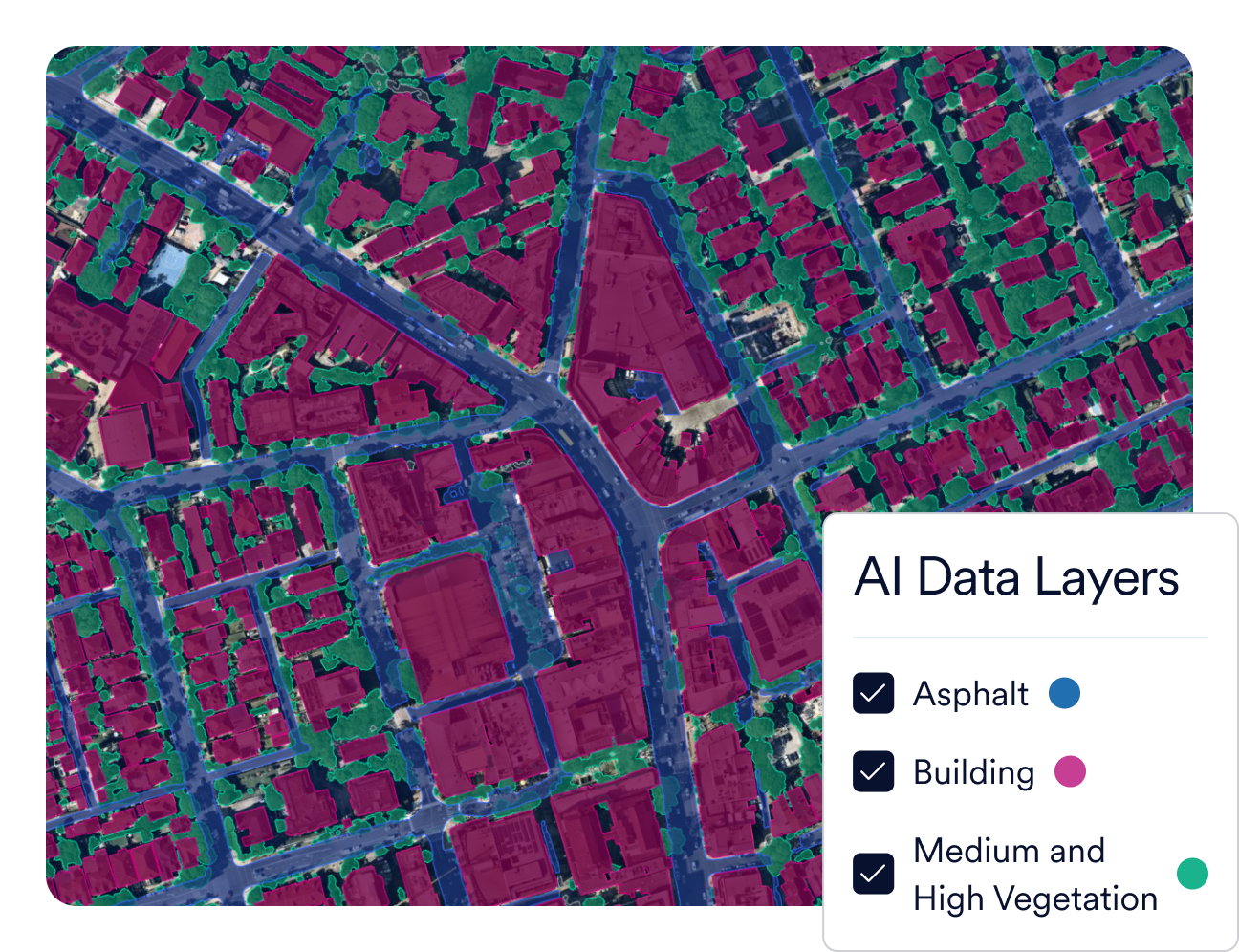
Plans that tick every box
AI feature extractions identify and analyse building footprints, utility poles, permeable surfaces, vegetation, and more. This allows you to pinpoint potential issues with vegetation, slope, or encroachments to make project planning more efficient and effective.
We fly annually to ensure that you’re using accurate aerial data. Our high-resolution imagery provide a comprehensive view, so you can help increase your wins and build a robust project portfolio with up-to-date visuals.


Integrations
Sync with your workflows
Quickly sync Nearmap to your workflows with seamless integrations. With our APIs, you can create bespoke solutions to better meet your needs.Integrations & APIs


Property intelligence for planning and assessment
Our state-of-the-art imagery and Geospatial AI can help you win more business with captivating and accurate designs.
Applications

Imagery

AI Insights
Get started today
Let us show you how you could accelerate your plans without compromising on precision.
Talk to the team