Industry topics glossary
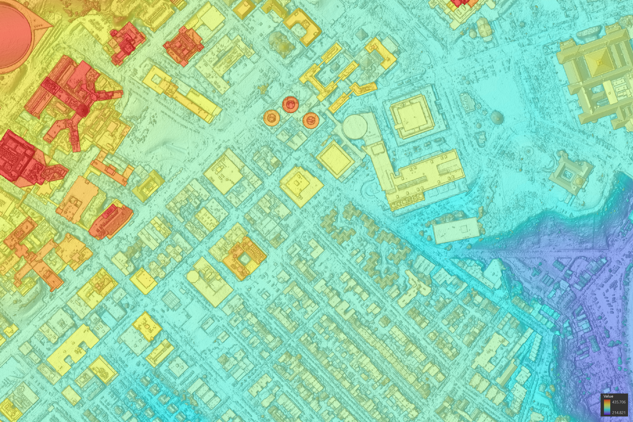
Geospatial Services
Discover how geospatial services deliver clarity, precision, and smarter decisions. Nearmap provides advanced data, mapping, and analytics solutions.
Learn more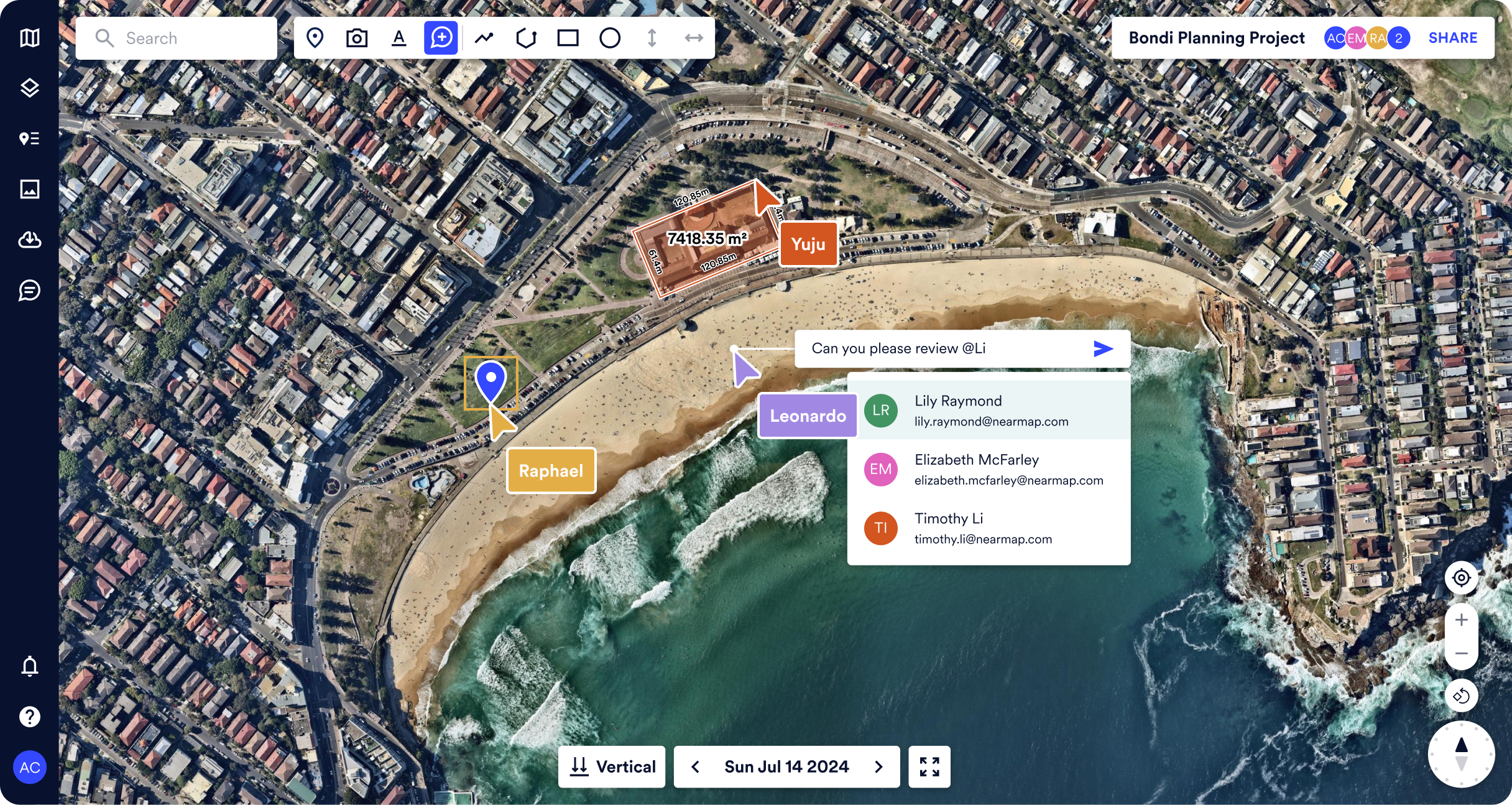
Geospatial Software
Unlock geospatial software power — all-in-one guide to GIS tools, mapping programs, and property intelligence. Learn features and the best geospatial solutions.
Learn more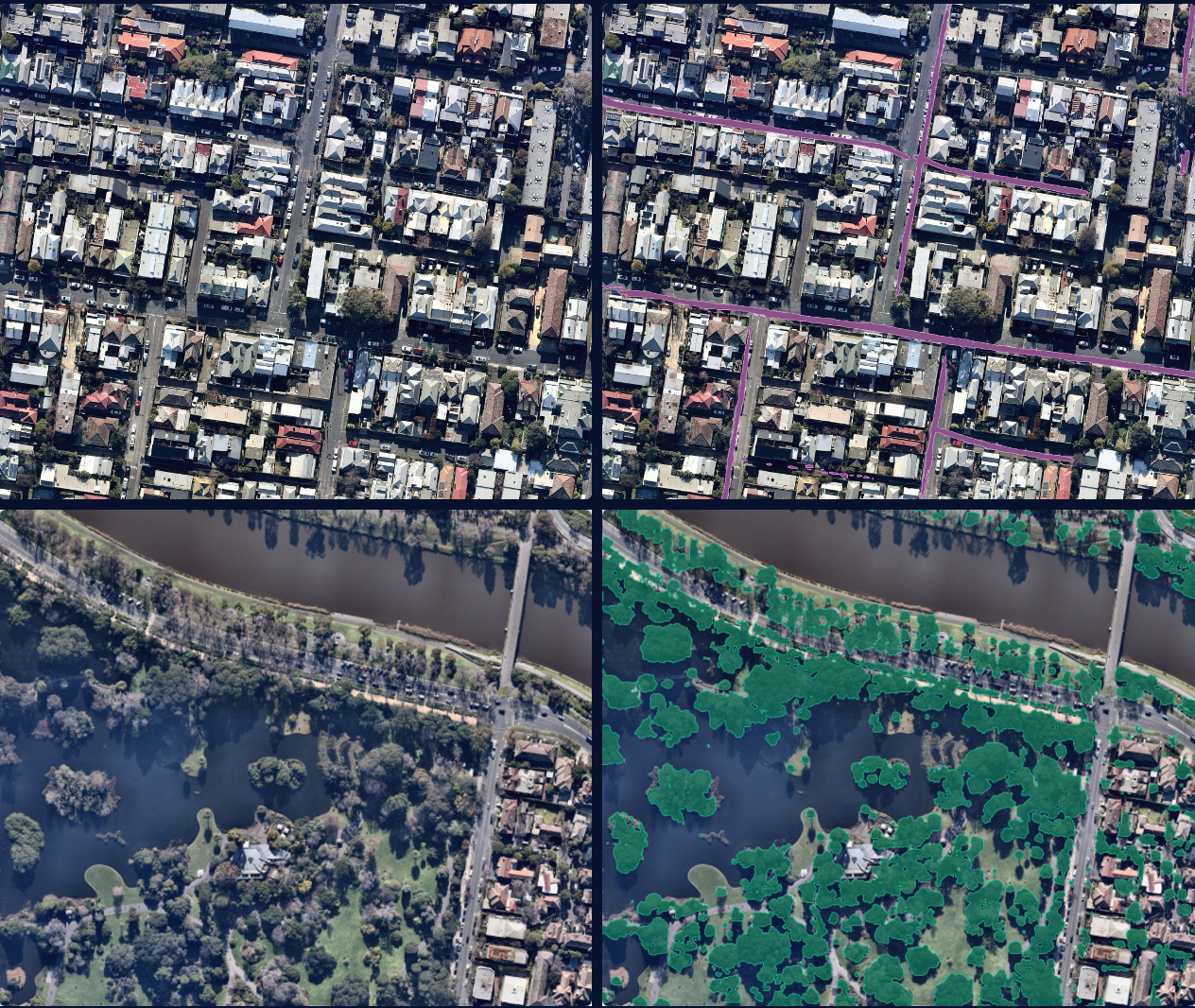
Geospatial Solutions
Explore geospatial solutions with Nearmap, from high-res imagery to GIS spatial data analysis. Geospatial services drive decisions and planning with influence.
Learn more
Google Earth Pro
Discover how Google Earth Pro is a visualisation tool for geography, analysis, storytelling, and education, and how Nearmap pushes the visualisation further.
Learn more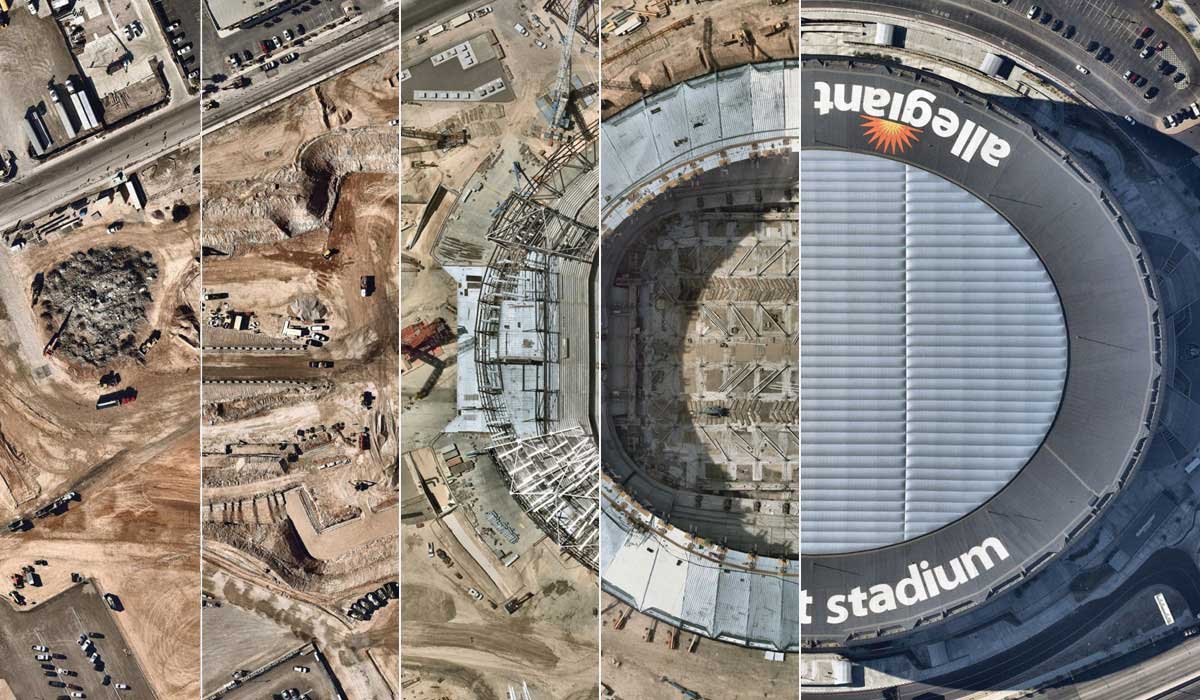
Historical Aerial Imagery
Explore historical aerial imagery with Nearmap. Track changes over time, access high-resolution archives, and view detailed, time-stamped aerial views.
Learn more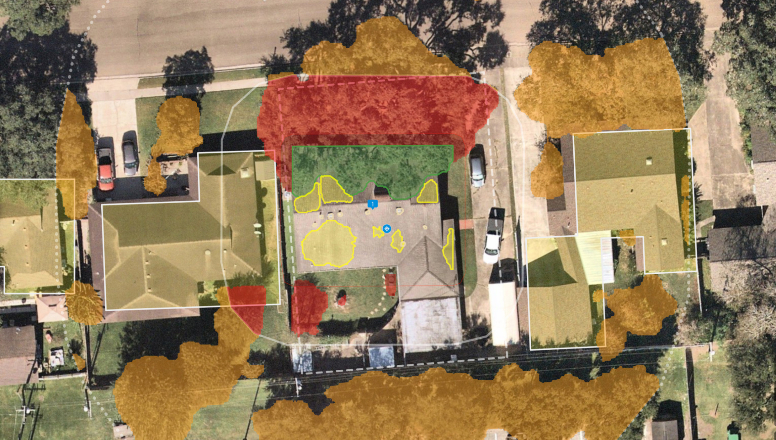
Insurance Analytics Software
Discover how insurance analytics software transforms risk management, claims, and underwriting. Explore benefits, capabilities, and future trends with Nearmap.
Learn moreExplore extra resources
Across the globe, GIS professionals are using Nearmap to advance their understanding of the world. Learn more about how these geospatial experts in commercial, government, and insurance sectors are optimizing their efficiencies with our solution.Blog
Learn the tips and tricks of using Nearmap as well as top trends going on in the world of location intelligence.
Webinars
Tune in for a lineup of industry experts highlighting how they’re changing our livable world