The top minds in property intelligence
Know the health of every property in your book
Apply computer vision and machine learning to aerial imagery, detecting and scoring property conditions and offering property insights to assess risk.
Watch webinarNearmap Sync: High-res imagery in GIS workflows | Webinar
Discover Nearmap Sync, the new way to embed high-resolution aerial imagery and GeoAI directly into ArcGIS and GIS workflows—no exports, conversions, or manual updates.
Watch webinar
Webinar: From imagery to insights to answers
Learn how Nearmap is reshaping property intelligence with industry-leading software.
Watch webinar
Leverage AI for change detection in property assessment
With up-to-date imagery and artificial intelligence, create solutions that save time, money and resources that help your team identify and manage changes.
Watch webinar
Aerial imagery and AI-driven analytics
Learn how carriers are unlocking the mysteries of ground truth in insurance workflows by exploring cutting-edge technologies in aerial imaging and AI-driven analytics.
Watch webinar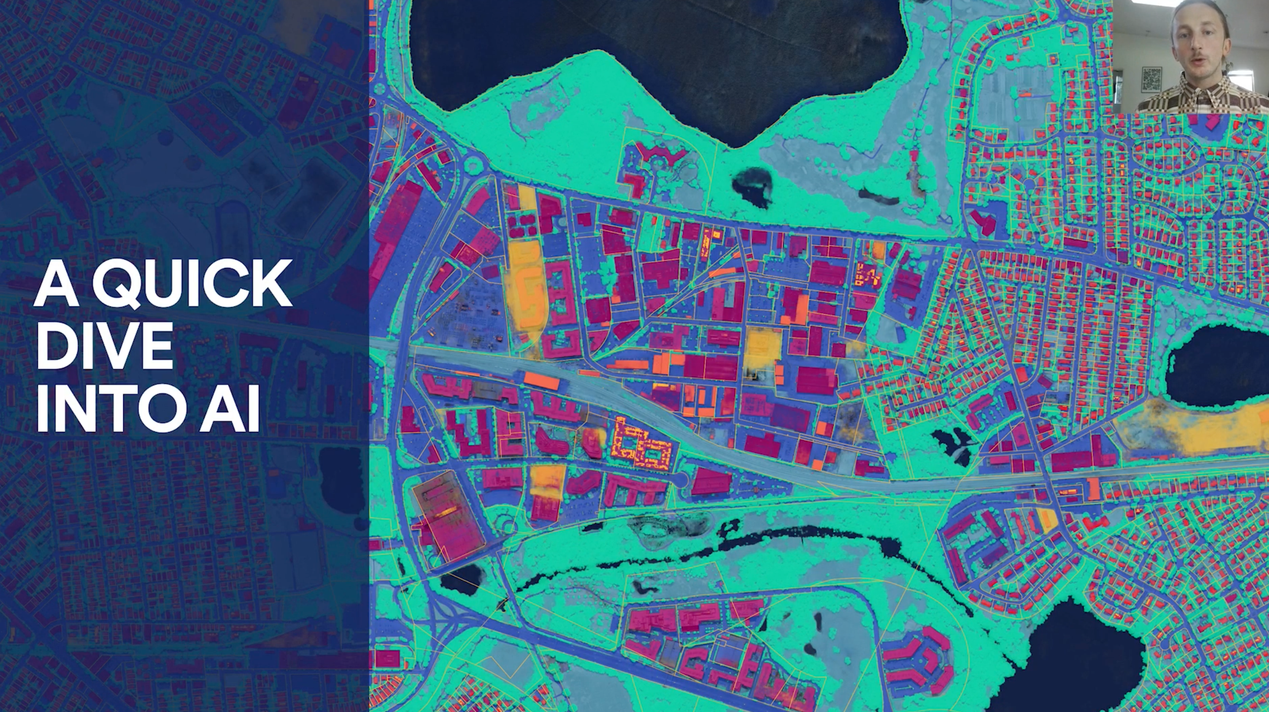
Aerial imagery and AI deep learning
The intersection of AI deep learning and aerial imagery creates opportunities for insurance companies to improve customer engagement and redefine risk assessment.
Watch webinarDive deeper
Explore how geospatial experts are using Nearmap to advance their understanding of the world across AECO, government, and insurance.Blog
New perspectives, insider tips, and top industry trends. Immerse yourself in the world of property intelligence.
Nearmap in action
GIS pioneers explain how they’re using Nearmap to enhance their efficiency, accuracy, and performance.