Prioritise emergency response, accelerate recovery
Emergency response companies and government agencies can target disaster response with a clear operational view using precise location intelligence.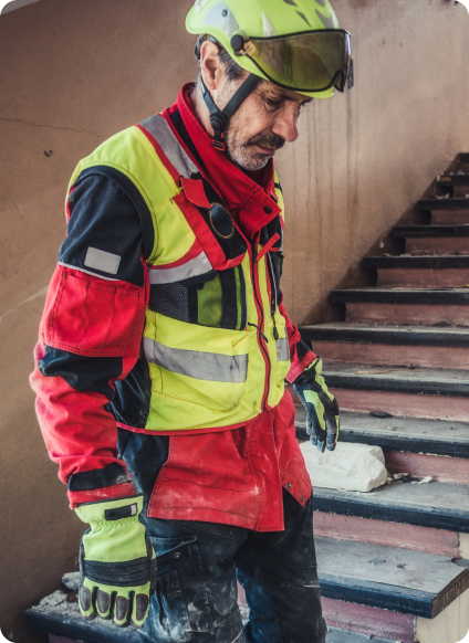
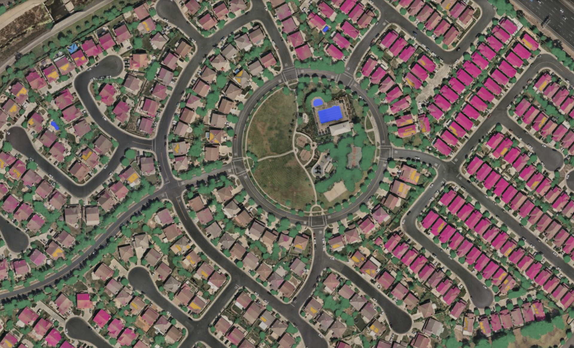
Lead response with emergency management software
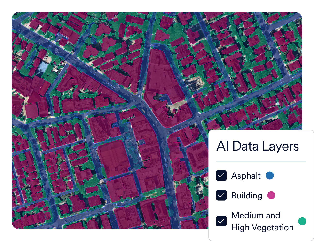
Gain wide-scale awareness in seconds
Extract insights from years of historical vertical imagery to uncover the relevance of data across time on AI-identified features including vegetation, surface permeability and building footprints.
Use location intelligence to quickly identify proactive intervention opportunities and reduce property damage by preparing response teams and communities ahead of disasters.
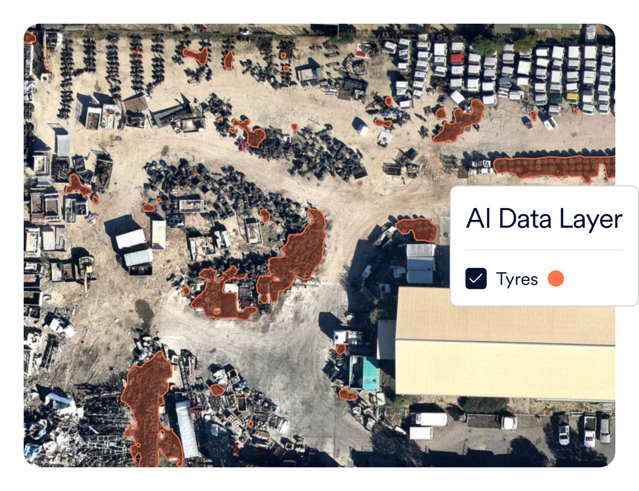
Identify hidden dumping sites to reduce the risk of toxic smoke and oils from illegal tyre dump fires and protect communities and groundwater from harmful chemicals and compounds.

Prioritise action to accelerate recovery
Provide detailed high-resolution plans:
Respond to emergencies quickly, safely, and more confidently with access to accurate, and detailed aerial maps about ground conditions.
Quickly assess damage and develop coordination plans with greater confidence.
Triage resources intelligently with comprehensive location intelligence: measurable views and essential property data.


Integrations
Sync with your workflows
Easily sync Nearmap to your workflows with APIs for seamless integrations. Integrations & APIs


Emergency management software solutions

Applications

Imagery

AI Insights
Get started today
Empower your team to make data-backed change for your community with a transformative, insight-rich view from above.
Get in Touch