Shaping future cities
Urban planning is a constant balancing act. Growth, density, infrastructure, environment. Better decisions start with a clear view of what’s really happening on the ground.

Plan smarter. Build better.

Automate insights for efficient planning
Evaluate land use, infrastructure, and development with high-resolution aerial imagery. Compare historical and current visuals to track urban growth, spot changes, and find opportunities. Power 3D planning, smart city initiatives, and long-term strategy with property intelligence that’s always current.
AI geospatial analytics instantly detect land use changes and construction trends, while predictive models check urban density to refine infrastructure planning. Drive sustainability with insights on green space distribution, impervious surfaces, and environmental impact.


Insights for thoughtful urban growth
Make confident land use decisions backed by historical imagery and multi-year trends. Use GIS tools to assess site compliance and community impact. For a simpler approvals process.
Organise utility rollout for residential and commercial developments with ease. Precise aerial mapping optimises placement and expansion of water, energy, and transport infrastructure.
Analyse road repairs, facility upgrades, and capital works needs using high-resolution imagery and AI insights. Monitor infrastructure conditions and weather damage to focus investment where it matters.
Monitor traffic, improve pedestrian routes, and expand transport access. Plan road upgrades, bridge expansions, and multi-modal projects with precise, current aerial data.

Plan with certainty
Reliable property intelligence lets planners monitor landscape changes, flag risks early, and make more informed development decisions.
Track urban expansion effortlessly with a decade-long image library, continuously updated with every new survey.
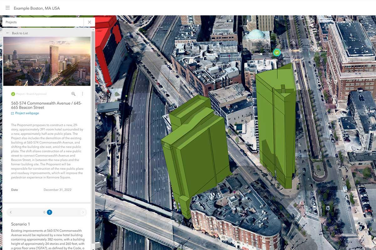
Nearmap data works inside Esri ArcGIS, Autodesk, Bentley, and other leading platforms.
Integrations
Plug right into public safety systems
Nearmap integrates effortlessly into leading urban planning software, making it easy to overlay GIS layers and collaborate across departments. Integrations & APIs


FAQs for urban planners
You have questions. We have answers.Nearmap offers high-resolution aerial imagery and historical views to analyse land use, monitor construction trends, and optimise planning regulations. Planners can make informed decisions that support sustainable growth with clear, up-to-date visuals.
Absolutely. Nearmap’s frequently updated aerial maps and 3D models support infrastructure assessments, road expansions, and utility coordination. Planners can visualise existing networks and development trends to simulate future developments and distribute resources more efficiently.
Nearmap Al identifies impervious surfaces and vegetation, empowering planners with actionable insights for sustainability. Rich insights to improve stormwater management, expand green spaces, and collect precise environmental assessments.
Nearmap refreshes imagery 6x a year, providing planners with precise, up-to-date data to streamline development projects and refine city policies.
Yes. Nearmap seamlessly integrates with top GIS and CAD tools like Esri ArcGIS, Autodesk, and Bentley, allowing urban planners to overlay high-resolution imagery onto development plans for enhanced analysis and collaboration.
Building tomorrow's cities
Urban planning should be visionary, data-informed, and sustainable. Nearmap provides planners with high-resolution imagery and AI insights to create smarter cities, optimise land use, and promote sustainable growth.
Applications

Imagery

AI Insights
Shape your city with Nearmap
Request a demo and see how property intelligence can redefine your city's future.
Get in Touch