Assess sites without leaving the office
Select sites, assess land, and perform feasibility studies from your desk. That’s high-level property intelligence.

More data. More wins.
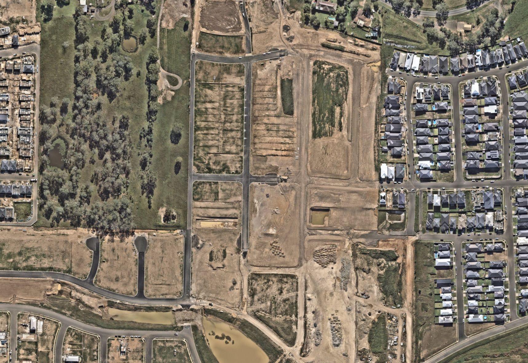
Site selection, simplified
High-res aerial imagery is crucial when selecting sites. With repeated capture, Nearmap provides the latest and most detailed visuals for informed decision-making.
Transform site selection and get ahead of potential challenges. Al geospatial feature identification provides unique insights into existing conditions, like encroachments, crossings, and constructability.


True environmental understanding
3D surfaces offer a complete view that allows environmental engineers to understand ground-level complexities in more detail. Going beyond traditional assessments and bringing a new dimension to sustainability.
Translate Al results into strategic solutions that support property development feasibility studies and project efficiency. Al provides engineers with in-depth environmental insights, enabling them to solve challenges and improve compliance strategies.

Enhance accuracy of environmental assessments with regular aerial landscape surveys. Leveraging data for more strategic, precise monitoring solutions.

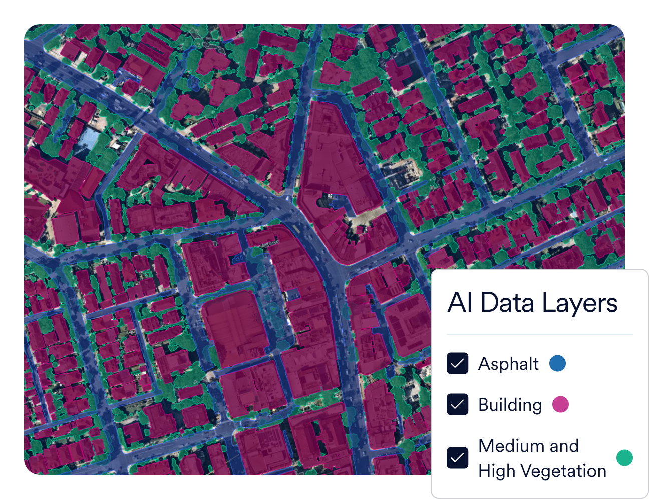
Plans that tick every box
Achieve more efficient and effective project planning with Al feature extractions. Identify and analyze everything from building footprints, utility poles, permeable surfaces, vegetation, and more. AI can also pinpoint possible issues with vegetation, slope, or encroachments.
We fly up to 3x a year to ensure the most accurate aerial data. High-resolution imagery (2D Vertical, Oblique, 3D mesh, and point clouds) provides a complete view, helping you increase proposal wins and build a robust project portfolio with current visuals.


Integrations
Sync with your workflows
Seamlessly integrate Nearmap into your workflows with our APIs. Create custom solutions to suit your needs.Integrations & APIs


Intelligence for planning and assessment
Being able to win more work without adding to their work is why 80% of the top 50 U.S. firms rely on Nearmap. Our property intelligence helps increase proposal efficiency by decreasing their time and costs.
Applications

Imagery

Insights
Further. Faster. Together.
Our team can help accelerate your plans without compromising on precision.
Let's Talk