Industry topics glossary

Digital Terrain Models | Nearmap
Learn the benefits of the Digital Terrain Model (DTM). Nearmap delivers decisive DTM data, showing the true ground surface for planning, analysis, and design.
Learn more
Digital Twins | Nearmap
Discover how digital twins transform commercial and government planning with living, data-rich models powered by high-resolution aerial imagery.
Learn more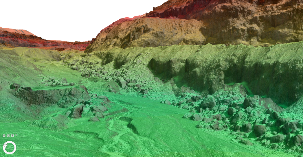
Digital elevation models
Find out how Nearmap can help with digital elevation models (DEMs), power mapping, surveying, and GIS insights. Learn its uses, types, and benefits.
Learn more
Emergency Management | Nearmap
Discover how governments in the U.S. plan, respond, and recover from disasters using disaster management strategies, technology, and solutions.
Learn more
Fire Risk Map | Nearmap
See how fire risk maps help insurers and governments predict, plan, and mitigate wildfire threats using high-resolution imagery and advanced hazard mapping.
Learn more
Flood Zone Maps | Nearmap
Discover how flood zone maps empower insurers to price flood risk accurately, reduce losses, and respond faster with real-time aerial intelligence.
Learn moreExplore extra resources
Across the globe, GIS professionals are using Nearmap to advance their understanding of the world. Learn more about how these geospatial experts in commercial, government, and insurance sectors are optimizing their efficiencies with our solution.Blog
Learn the tips and tricks of using Nearmap as well as top trends going on in the world of location intelligence.
Customer Stories
Go behind the scenes with GIS pioneers to see how they’re using Nearmap.
Webinars
Tune in for a lineup of industry experts highlighting how they’re changing our livable world
Newsroom
Get the latest Nearmap scoop by reading what publications are saying about our solution.