Industry topics glossary

Photogrammetry Software | Nearmap
Explore photogrammetry software with Nearmap. Learn how to turn aerial images into 3D models, maps, and spatial data with fast, scalable, AI-driven tools.
Learn more
Predictive Analytics Software | Nearmap
Learn how predictive analytics software transforms data into actionable insights. Explore techniques, models, and benefits, and make smarter, faster decisions.
Learn more
Property Analysis | Nearmap
Explore property analytics for more intelligent insurance and government decisions, powered by advanced property analysis and high-resolution imagery.
Learn more
Property Assessment | Nearmap
Enhance decision-making in property assessment with Nearmap — delivering accurate, up-to-date insights into property value, condition, and land use to support planning, taxation, and infrastructure initiatives.
Learn more
Property Boundary Map | Nearmap
Learn how a property boundary map supports construction, insurance, and asset management. Explore surveys, costs, benefits, and real-world use cases.
Learn more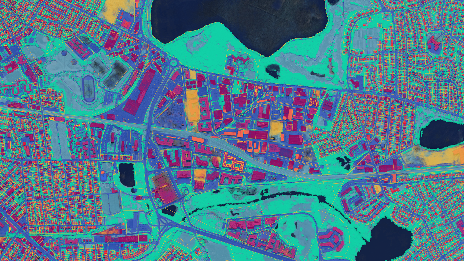
Property Intelligence | Nearmap
Discover the effect of property intelligence on insurance and risk management. Nearmap delivers AI-powered data, analytics, and clarity at scale.
Learn moreExplore extra resources
Across the globe, GIS professionals are using Nearmap to advance their understanding of the world. Learn more about how these geospatial experts in commercial, government, and insurance sectors are optimizing their efficiencies with our solution.Blog
Learn the tips and tricks of using Nearmap as well as top trends going on in the world of location intelligence.
Customer Stories
Go behind the scenes with GIS pioneers to see how they’re using Nearmap.
Webinars
Tune in for a lineup of industry experts highlighting how they’re changing our livable world
Newsroom
Get the latest Nearmap scoop by reading what publications are saying about our solution.