Property intelligence, right from the source

Equitable approaches to identifying taxable properties
Explore how modern assessment offices are adopting high-resolution aerial imagery and advanced analytics to close the gap between what's built and what's captured on the books.
Watch webinar
Optimizing every step of the property review process
Learn how AI-powered property intelligence and high-resolution aerial imagery are helping insurers streamline inspection workflows and reduce operational costs—without sacrificing accuracy.
Watch webinar
Unlocking Portfolio Intelligence
Struggling with disjointed risk data, manual portfolio analysis, and missed underwriting opportunities? It's time to change the way you manage risk.
Watch webinar
Strengthening insurance resilience
Discover how to enhance underwriting accuracy and proactively manage property vulnerability to en. sure policies weather the storm.
Watch webinar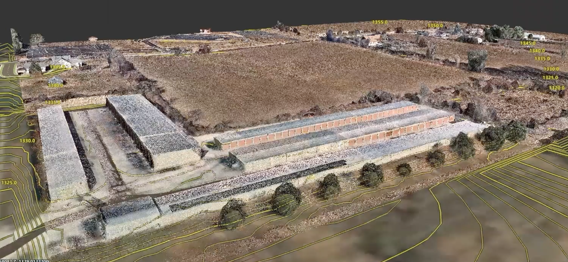
Aerial data and AI in Autodesk Civil 3D
Save time in Autodesk Civil 3D with easy access to site conditions data and transform your designs with high-resolution aerial imagery, 3D data, and AI tools from Nearmap.
Watch webinar
Know the health of every property in your book
Apply computer vision and machine learning to aerial imagery, detecting and scoring property conditions and offering property insights to assess risk.
Watch webinarDive deeper
Explore how geospatial experts are using Nearmap to advance their understanding of the world across AECO, government, and insurance.Blog
New perspectives, insider tips, and top industry trends. Immerse yourself in the world of property intelligence.
Nearmap in action
GIS pioneers explain how they’re using Nearmap to enhance their efficiency, accuracy, and performance.