Ground Truth
A blog by Nearmap
From imagery to insights to answers. Explore the latest posts and new perspectives emerging in the world of property intelligence.
Claims teams response after the Fox Valley tornado
The Fox Valley tornado hit 49,123 buildings. Here's how claims teams responded.
Read post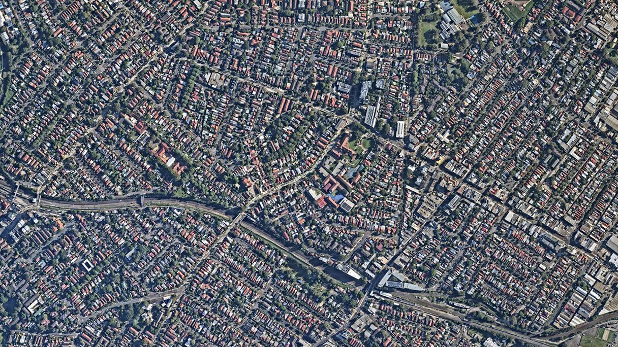
3 Sydney growth corridors where infrastructure is racing to keep up
See these 3 Sydney growth corridors that are growing fast. Is infrastructure keeping up?
Read post
The one provider for complete property intelligence
Complete property intelligence is the combination of high-frequency aerial capture, AI-derived analytics, and guaranteed building materials data integrated into a single, owned source of truth for the built environment.
Read post
Nearmap AI vs Claude Fable and Gemini: Benchmark Results
Nearmap AI is trained on proprietary imagery captured specifically for property intelligence, with a consistent resolution, consistent geometry, and multiple captures per year. It updates on a controlled release cycle tested against property intelligence benchmarks before anything ships.
Read post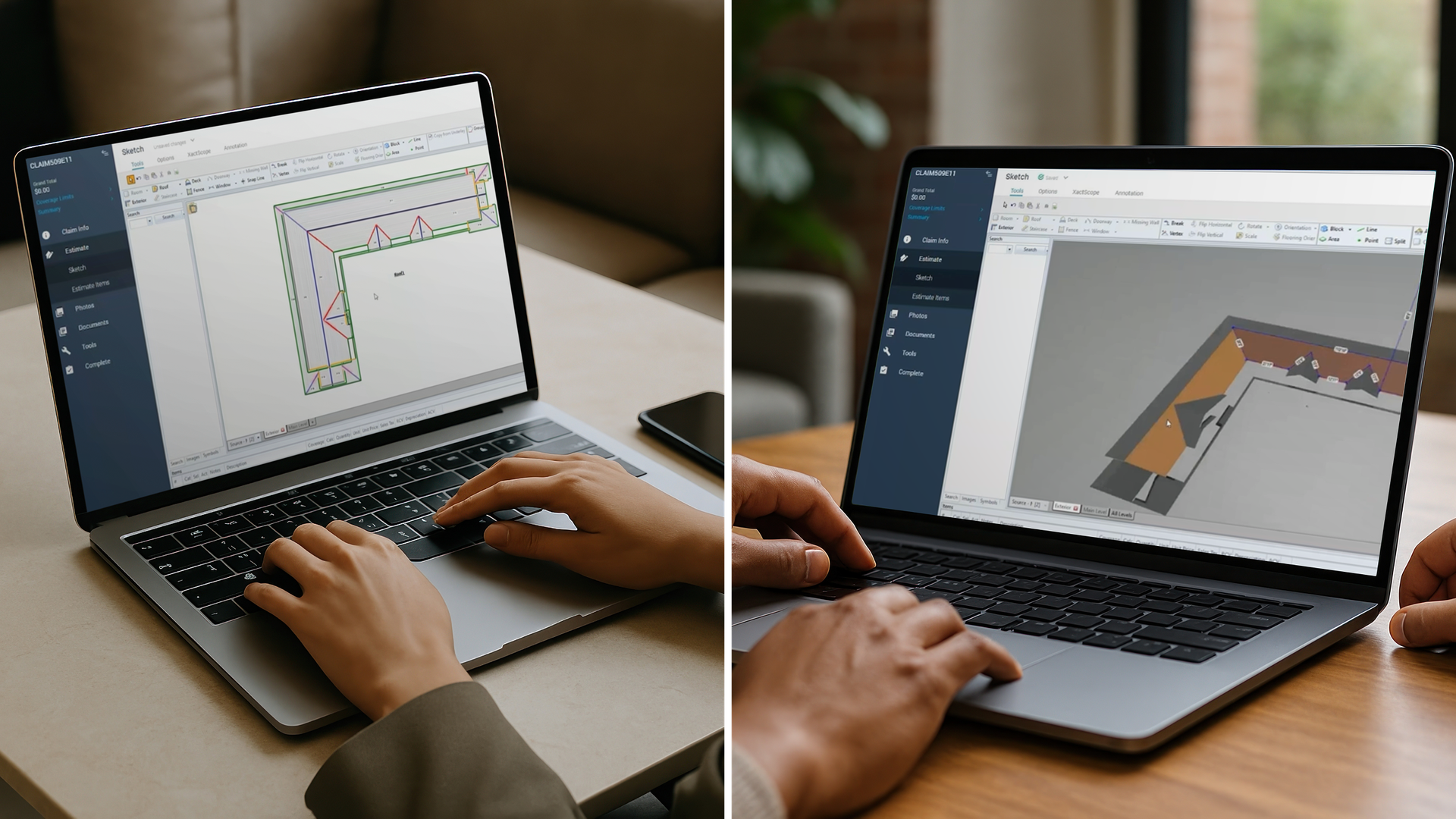
Reduce LAE with fast, accurate roof and exterior measurements | Nearmap
Fast, accurate, and consistent roof and exterior measurements have long been a challenge for claim adjusters. Legacy, manual workflows require significant documentation, and even digitized processes often hinge on. adjuster capacity or subjectivity. .
Read post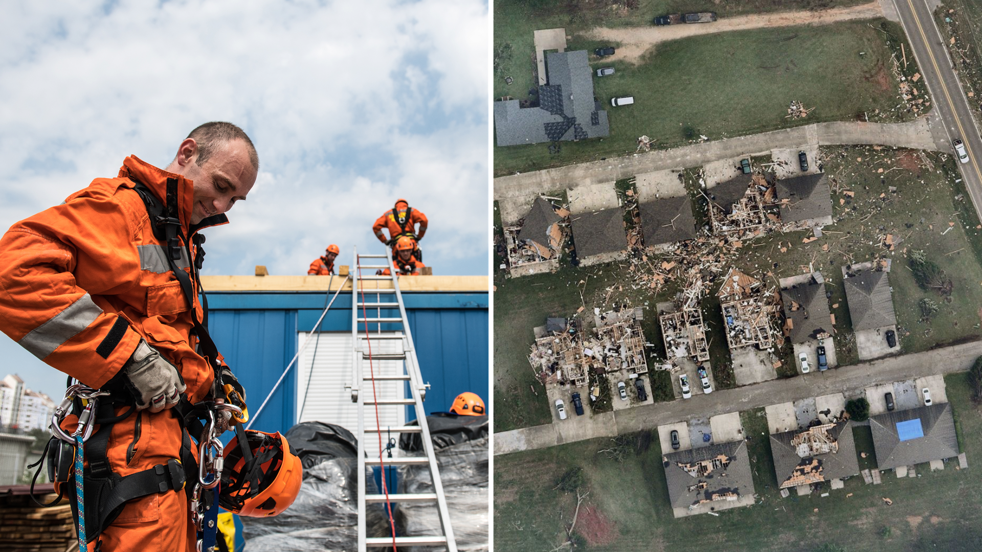
Why leading P&C insurers stop sending adjusters to every property
Gathering. accurate property data for claims. has always been a challenge for adjusters. Today the stakes are higher: the industry needs to match accuracy with scale.
Read post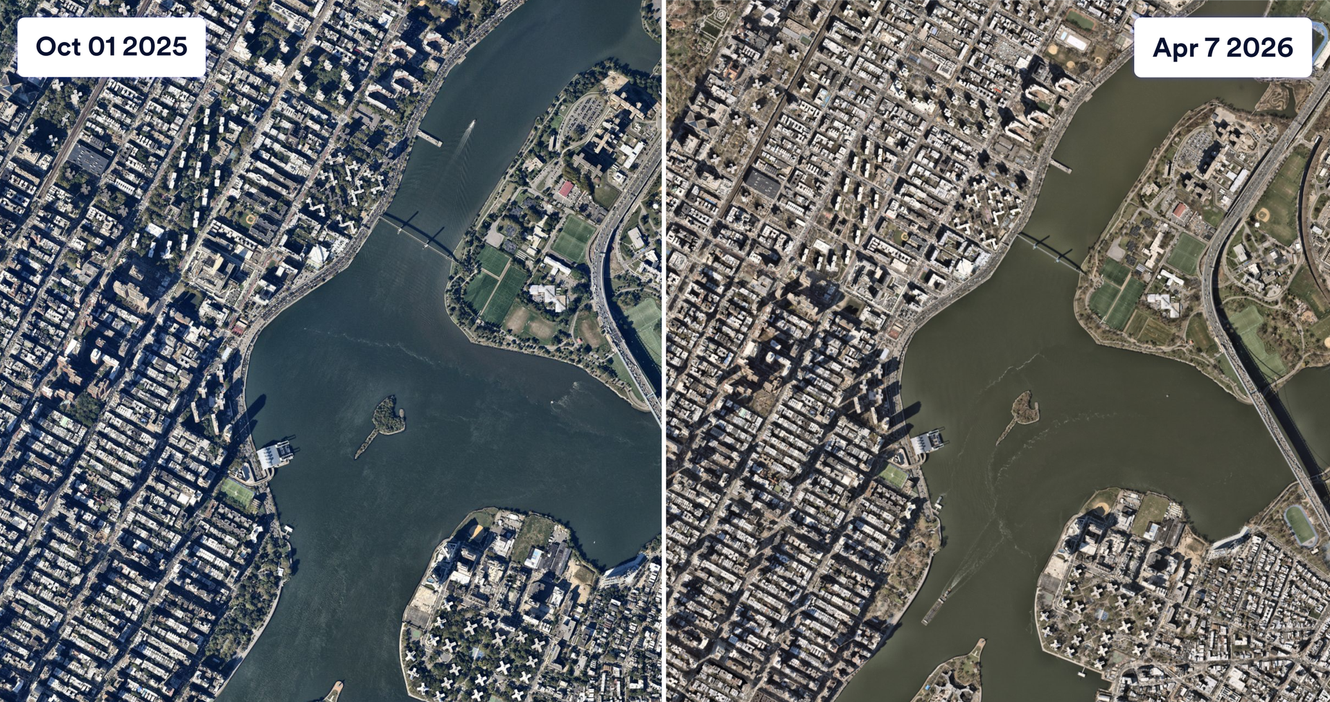
The aerial imagery problem nobody talked about, and how it got solved
Combining high resolution with frequent updates is where the real advantage of aerial imagery lives. You are not just seeing the area, you track what's changed, prioritize work, reduce site visits, and document conditions with the confidence that what you are looking at is accurate.
Read postDiscover more
Across the globe, GIS professionals are using Nearmap to advance their understanding of the world. Learn more about how these geospatial experts in commercial, government, and insurance sectors are optimizing their efficiencies with our solution.Customer Stories
Go behind the scenes with GIS pioneers to see how they’re using Nearmap.
Events
Meet us in person and demo our products at one of the events we’ll be attending this year.
Webinars
Tune in for a lineup of industry experts highlighting how they’re changing our livable world
Newsroom
Get the latest Nearmap scoop by reading what publications are saying about us.